2. My first config
Tutorial Objectives
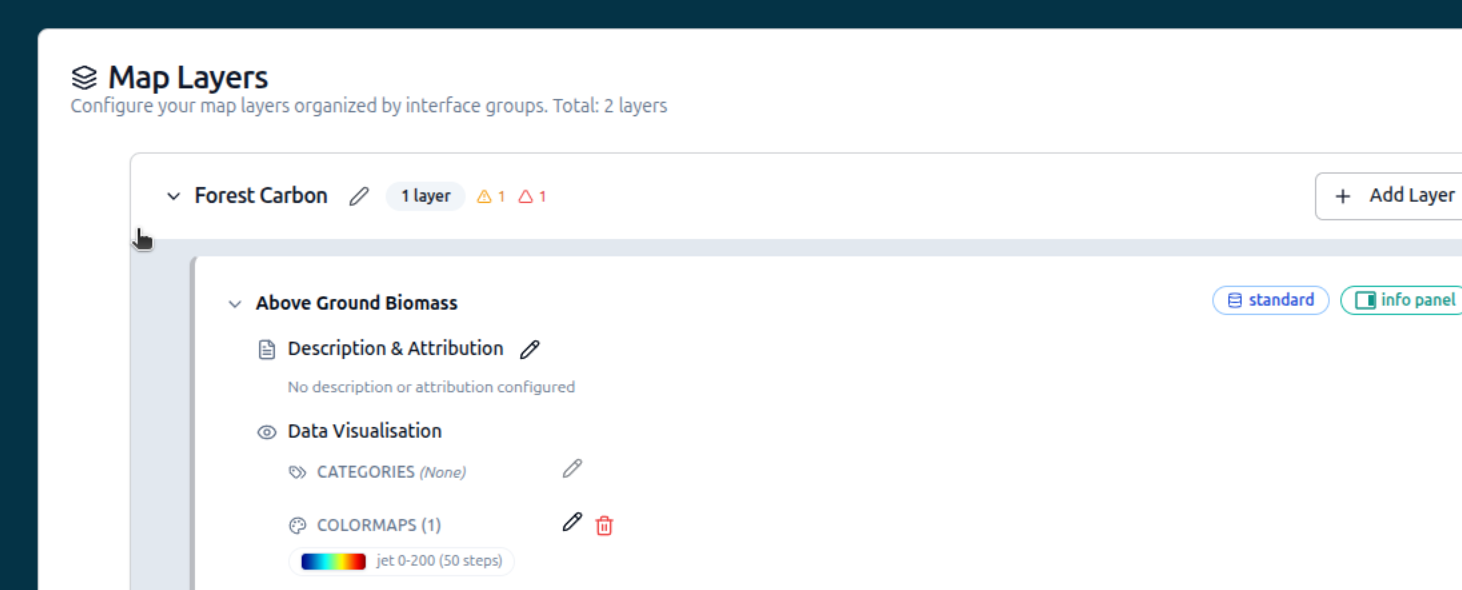
In this tutorial you will build a Geospatial Explorer configuration from scratch: name and branding, base maps, your first layer card, a COG data source, colormap styling and a direct WMS layer.
By the end of this tutorial you will be able to:
- Start a new configuration and set its name, interface group and branding.
- Export your work and reload it later.
- Add recommended base maps and your first layer card.
- Add a COG data source and style it with a colormap.
- Add a WMS layer using a direct connection.
- Copy a WMS legend graphic into your layer card.