12. STAC as a data source
Tutorial Objectives
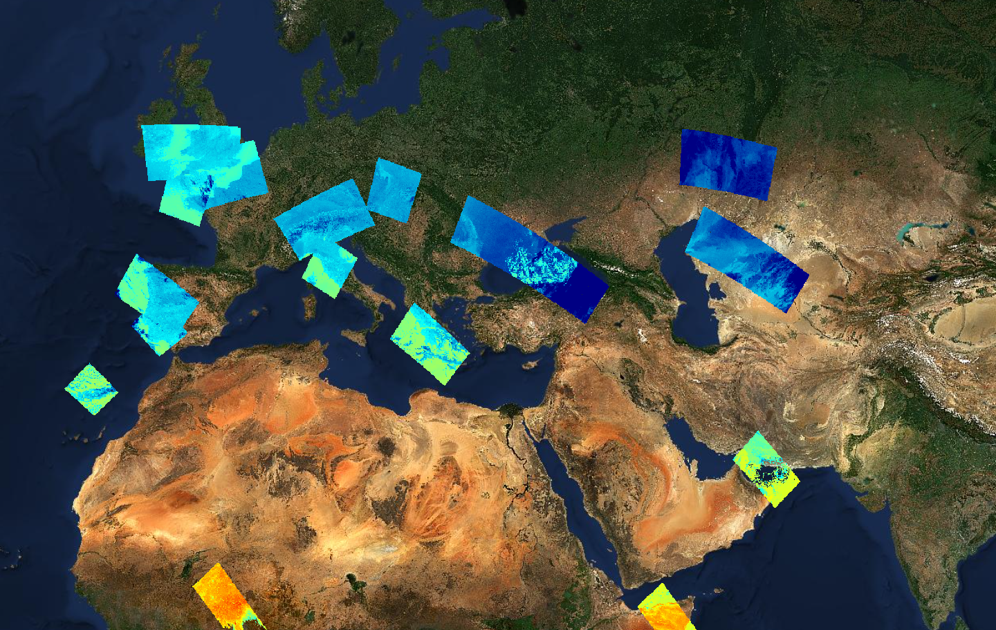
Many Earth Observation projects publish their results through a STAC (SpatioTemporal Asset Catalog) catalogue. As well as browsing a STAC catalogue to discover data, the Geospatial Explorer can use a STAC collection, item or query directly as a data source. In this tutorial you will load a prepared configuration of STAC layers and inspect how they are defined and how they behave.
By the end of this tutorial you will be able to:
- Explain what STAC is and how catalogues, collections, items and assets relate.
- Describe the difference between STAC as a discovery service and STAC as a data source.
- Recognise a STAC data source on a layer card.
- Inspect STAC collection, item, asset and queryable metadata.
- Understand how area, date and property filters become part of a STAC query.
- Describe how STAC layers behave in the preview, including time series.