11. Coordinate reference systems
Tutorial Objectives
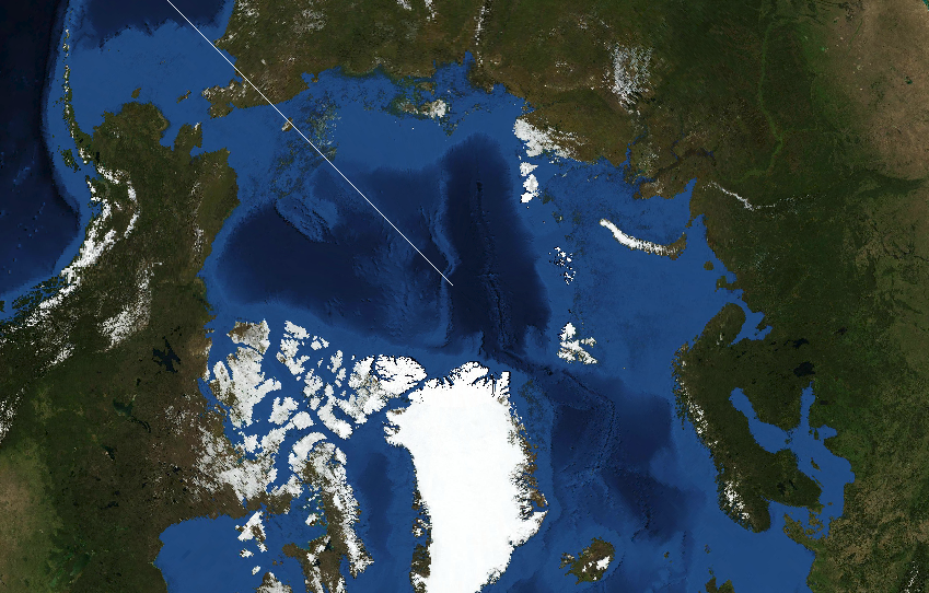
This tutorial explains Coordinate Reference Systems (CRS) in the Geospatial Explorer: why they matter, how the Explorer handles them, and how to configure them.
By the end of this tutorial you will be able to:
- Understand why a map needs a CRS, and why you might choose a different one for your data or audience (for example, regional grids or polar views).
- Understand how the Explorer handles CRS — data is reprojected on the fly to the display CRS — and which CRS are supported out of the box (EPSG:3857, EPSG:4326, EPSG:3035, and the polar stereographic options).
- Understand how to set a different CRS as the default display for a configuration, and see the effect in Preview.
- Understand how to add an additional CRS to a configuration so it becomes available as the default or per-layer display option.