8-4. Add the first statistics source
Statistics sources are added from their own tab, not alongside the display data.
-
On the
World Cover 2021 with statisticslayer card, open Data Sources and select the Statistics tab.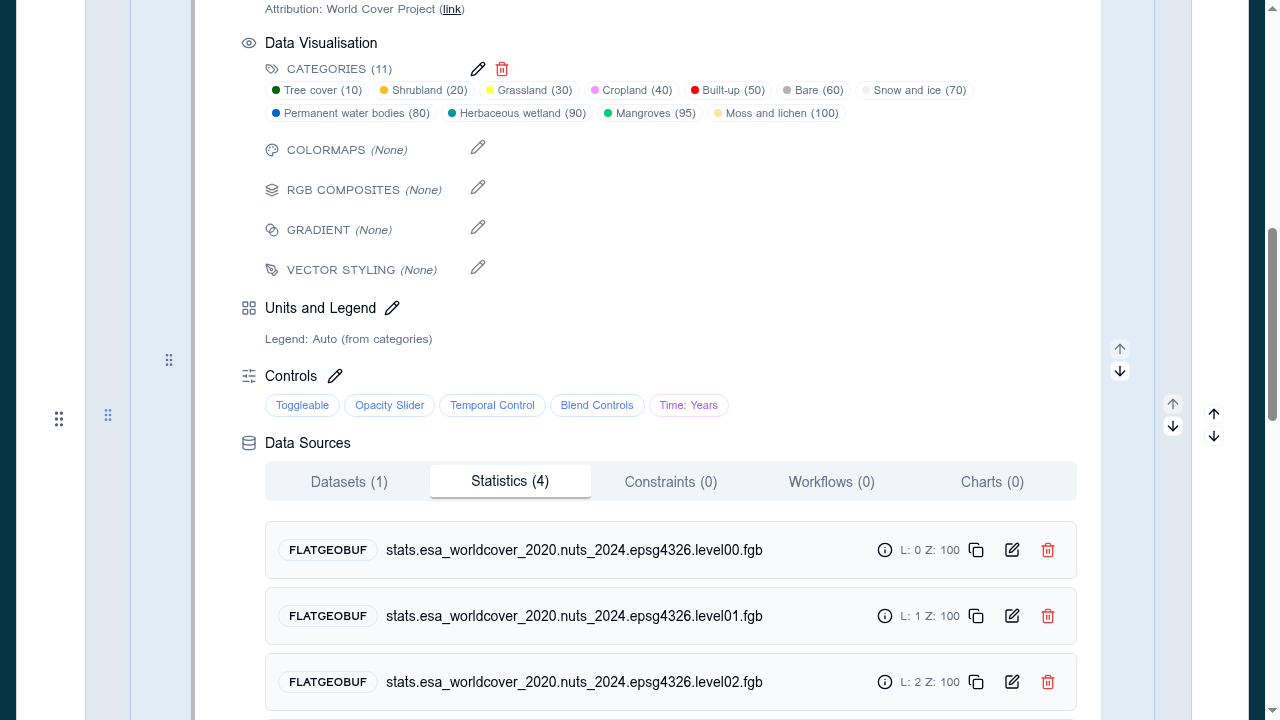
-
Click Add source and choose the format FlatGeoBuf.
Supported formats
Statistics sources must be FlatGeoBuf or GeoJSON. FlatGeoBuf is preferred: it is indexed, so the Explorer only downloads the features in view.
-
Paste in the NUTS level 0 (country) file:
https://esa-apex.s3.eu-west-1.amazonaws.com/APEX-example-data/HI-RES-NUTS/stats.esa_worldcover_2021.nuts_2024.epsg4326.level00.fgb -
Note the level field. This is the first statistics source on the layer, so it is pre-filled with
0— the coarsest boundaries. Leave it as it is. -
The zIndex is set to
100, above the display data, so that the clickable boundaries sit on top of the raster. Leave it as it is. -
Save the source. It now appears under Statistics, separately from the WMS source on the Data tab.
-
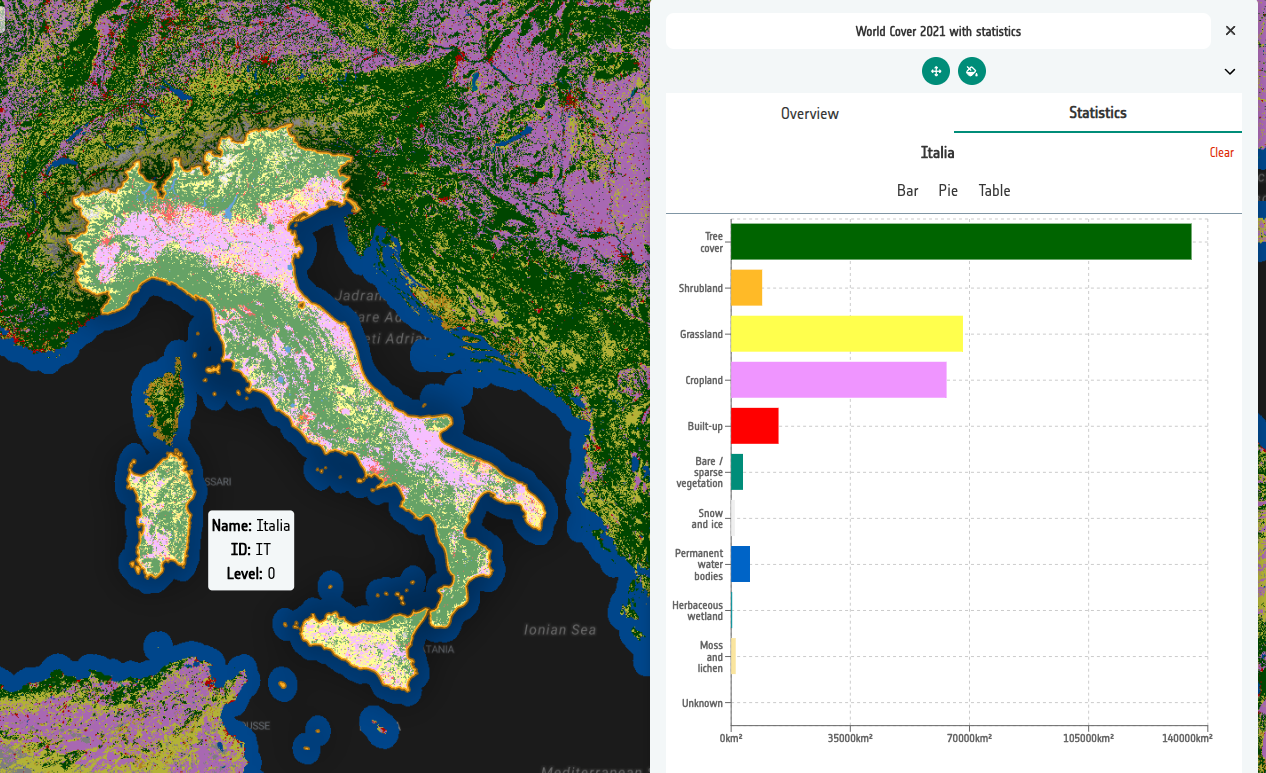
View the result. Open the Preview, turn the layer on, then:
- Select the Statistics tab in the info panel.
- Click on a country on the map.
You should see the land cover breakdown for that whole country:
Coordinate reference system
These files are published in EPSG:4326, matching the epsg4326 in the file
name. Statistics features must be in a CRS the Explorer can reproject to the
map — a mismatch shows as boundaries in the wrong place, or no clickable
features at all.